Nobody is watching the sky. We built the thing that does.
A passive sensor node that detects, tracks and identifies every airborne object overhead — and measures exactly where it is, how fast it's moving and how big it is. Deploys anywhere in minutes, on solar and Starlink.
The network, live right now
Every node on the map is calibrated, passive, and reporting in real time. Watch the fleet see the sky as it happens.
A sensor that understands what it sees.
Radar and RF tools tell you something is there. Our nodes tell you what it is, exactly where it is, how fast it's moving and how big it is — because they measure the object optically and resolve it in three dimensions.
Passive. Off-grid. Live in minutes.
Every node makes every other node better.
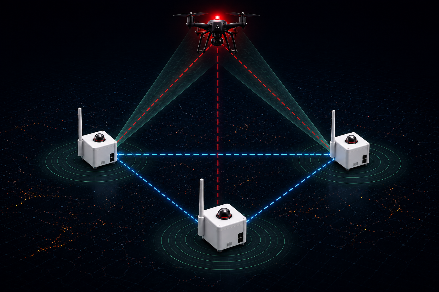
A single node measures direction with precision. Point two or more at the same object and their optical bearings intersect — producing true 3D position, real velocity and physical size. No emissions, no cooperation from whatever is up there.
Bearing
Direction and classification, measured at the edge.
Baseline
Two nodes intersect to fix range and altitude.
Volume
More nodes tighten the solution and extend cover.
Run on the network
Share bearings with neighbouring nodes and get triangulated 3D tracks plus the wider picture the whole fleet sees. Coverage and accuracy both compound as the network grows around you.
RecommendedRun independently
Or keep everything inside your perimeter. Full detection, tracking and classification on-device, nothing leaving your infrastructure. Join the network later without changing hardware.
Air-gapped capableGuard a perimeter. Or record the whole sky.
Non-federal sites can't legally jam or intercept, so detection is the entire job. The same node that watches a fence line also builds a calibrated record of everything else passing overhead.
Protect
Understand
Nodes are nearly ready.
The first production units go to pilot partners. Tell us about your site and we'll be in touch as they become available.